The locations are taken from Derbyshire Police’s crime map showing the most up-to-date crime figures for the town.
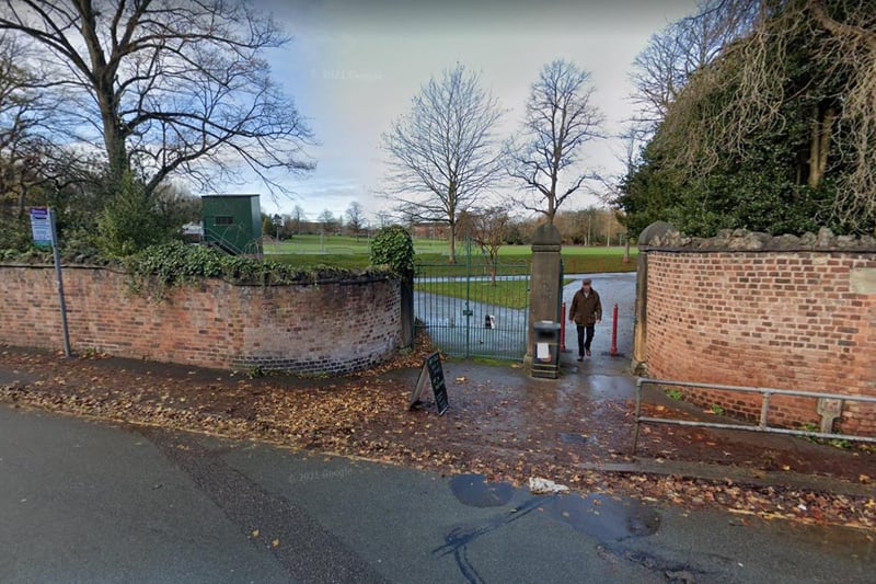
1. Antisocial behaviour in Chesterfield
The worst-affected streets and areas - March to May Photo: Google
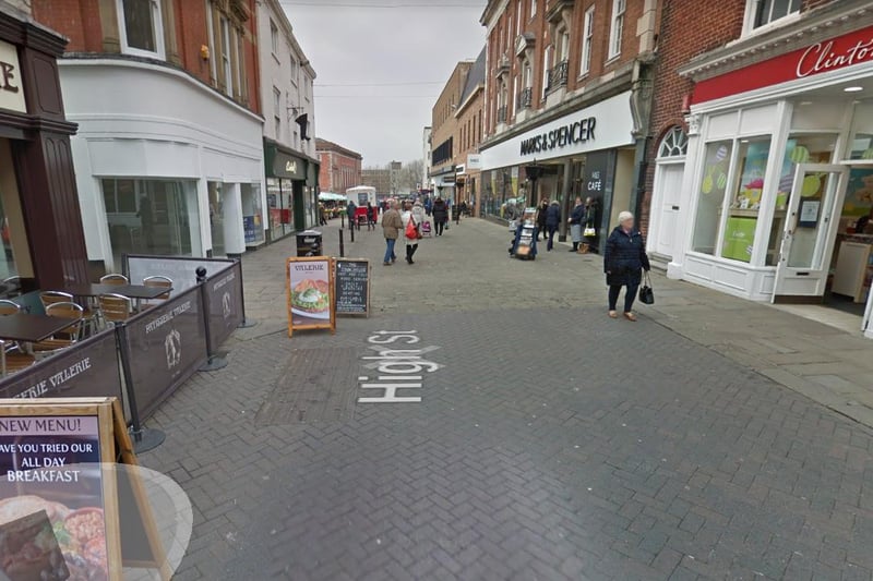
3. High Street, town centre
Near Marks & Spencer. Eleven crimes were reported Photo: Google
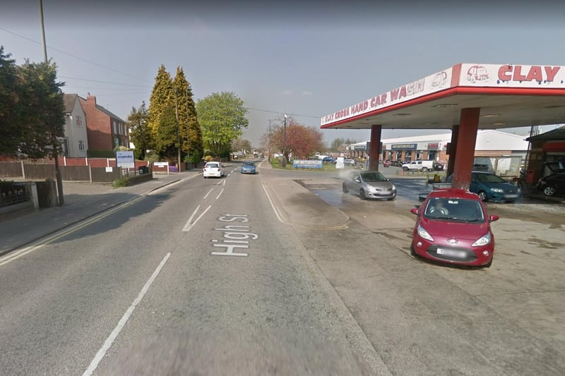
4. High Street, Clay Cross
On or near Clay Cross Car Wash. Nice crimes reported. Photo: Google
1 / 3