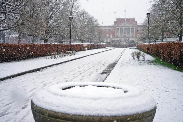
Derbyshire weather: Snow and ice set to hit Derbyshire this week – with Met Office weather warnings covering Chesterfield, Matlock, Belper, Alfreton, Bakewell, Derby and more
and live on Freeview channel 276
The Met Office has issued two weather warnings for Derbyshire this week. A warning for ice and snow is active for 24 hours on Tuesday, January 16 – before another snow warning is in place for 48 hours between Wednesday, January 17 and Thursday, January 18.
Snow showers will continue to feed inland early on Tuesday morning across northern and western Scotland, parts of Wales and northwest England – where 2-5cm of snow is possible over a few hours in some places.
Advertisement
Hide AdAdvertisement
Hide AdDuring the day, an area of more organised rain, sleet and snow is likely to move east, with further showers following. There is still some uncertainty in the track of more prolonged snow, and it is possible that at lower elevations across Wales and northern England, this could turn to rain for a time.

There is, however, a chance that some places could see between 5-20cm of snow, particularly across the northern half of Scotland and over higher ground elsewhere.
The heaviest and most frequent snow showers will be across northern Scotland during Wednesday morning, before developing across parts of southwest Scotland, Northern Ireland, northwest England and Wales later in the day.
Advertisement
Hide AdAdvertisement
Hide AdSnow showers are likely to continue during Wednesday night and well into Thursday. While accumulations will vary due to the nature of showers, 2-5cm of snow is expected in many places. Where showers become more organised, there is a chance some low-lying areas could see 10cm of snow in a few hours.