Heavy rain and thunderstorms lash Chesterfield as Met Office predicts more wet weather
and live on Freeview channel 276
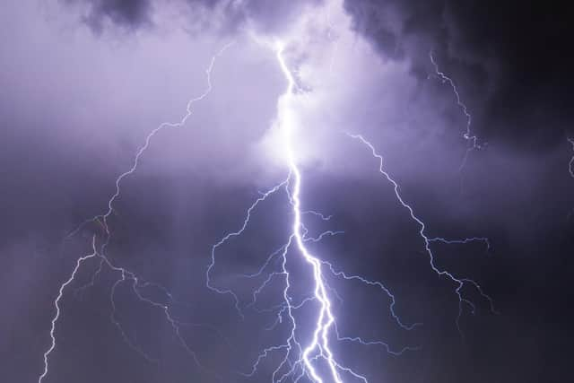
Rush hour motorists could face some localised flooding following the arrival of a thunderstorm which brought a deluge of rain across the town this afternoon (Wednesday, September 7).
The weather is seeing some influence from two successive tropical cyclones which are making their way over the Atlantic.
Advertisement
Hide AdAdvertisement
Hide AdHurricane Danielle is expected to weaken and veer towards mainland Portugal, while hurricane Earl is expected to remain across the western Atlantic during the coming days but will impact the downstream weather pattern influencing the UK.

Met Office Chief Forecaster, Paul Gundersen, said: “The influence of low pressure - with associated thunderstorms and bouts of heavy rain - will continue to dominate this week, especially on Friday. Though the low pressure will finally move eastwards on Saturday, meaning that many will have a dry day with some sunshine.

“There is a risk of potentially very heavy rain for a time on Friday for eastern and north-east England and southern Scotland. Adding in the risk of thunderstorms - which could bring gusty winds and heavy downpours where they form - many can expect an unsettled week.
“During autumn, forecasters have the added complication of trying to estimate the impacts of ex-hurricanes when they work their way into the North Atlantic.
Advertisement
Hide AdAdvertisement
Hide Ad"Although the cooler conditions outside of the tropics cause them to decay quickly, they can bring disruption to weather patterns by bringing lots of moist and relatively warm air which often becomes entrained within other home-grown weather systems.”
Jason Kelly, Met Office deputy chief forecaster, added: “Hurricane Danielle is decaying at present and its influence will weaken. Meanwhile, Hurricane Earl is expected to become a major hurricane over the next few days.
"Whilst it is very unlikely to get directly involved in the UK weather, variations in the potential direction of travel will have a profound effect on the forecast. Heavy rain is expected to arrive in the west from Sunday, but quite how quickly that arrives will be dictated by the movements of Hurricane Earl over the coming days.”
More thunderstorms are expected to hit Chesterfield from around midday tomorrow, September 8.
Heavy and thundery showers are also likely on Friday, although will ease on Saturday.