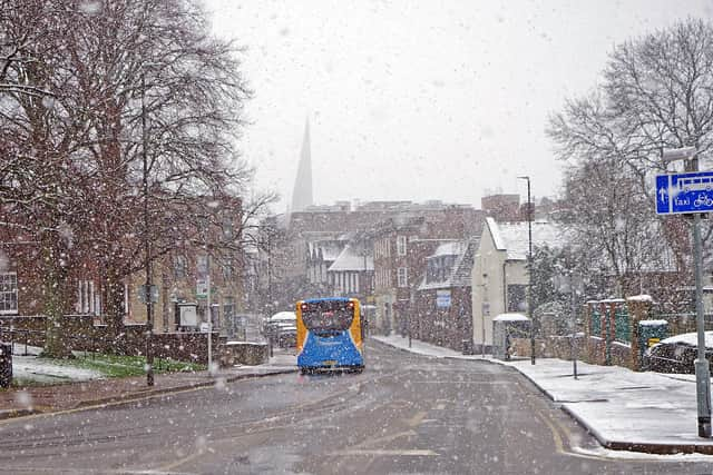
Temperatures set to plummet and bring increased snow risk for Chesterfield and Derbyshire – as cold weather warning issued
and live on Freeview channel 276
The Met Office’s long range forecast for January 9 – January 18 warned that conditions will become much colder than they have been recently – with frost likely to become widespread and freezing fog patches possible in some areas.
Next week will begin mostly dry, with variable amounts of cloud and some sunny spells. Beyond next week, however, conditions are likely to remain cold – with an increasing chance of some snow showers.
Advertisement
Hide AdAdvertisement
Hide AdBetween January 19 and February 2, there is an increased chance of colder than average conditions during this period.

Currently, the chance of widespread severe cold during this period is still deemed low, but the risk of ice and snow is greater than normal.
While there is a chance of brief, unsettled spells – which would bring milder air for a time – it would likely also be accompanied by a period of sleet or snow.
A yellow level cold weather alert has also been issued for the whole of England as temperatures are set to dip to single digits, starting this weekend.
Advertisement
Hide AdAdvertisement
Hide AdThe UK Health Security Agency (UKHSA) said the alert comes into effect from 9.00am on Saturday (January 6) to 12.00pm on Tuesday (January 9), following the Met Office’s warning of below average temperatures.