Thunderstorms set to hit Derbyshire as Met Office issues yellow weather warning
and live on Freeview channel 276
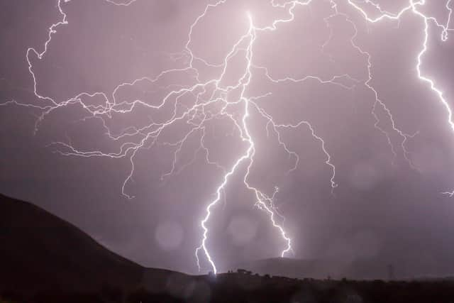
Heavy showers and thunderstorms are likely to bring disruption to people in the county with the warning in force between 12pm and 7pm today (September 9).
The Met Office issued the alert and has warned of possible impacts to travel, as well as some flooding damage, lightning strikes and power cuts.
Advertisement
Hide AdAdvertisement
Hide AdThose travelling by car have also been asked to take care with spray and standing water potentially leading to longer journey times, while delays to trains could also be in place.

Forecasters say drier conditions are expected into the evening and into Saturday, although there may be the odd shower. The Met Office forecast for today said: “Any early fog will soon clear, followed by sunny spells but a few showers.

"These will become heavier and more frequent during the afternoon, also thundery in places. Feeling pleasantly warm in any spells of sunshine. Maximum temperature 22°C.
“Tonight: Most showers will soon die out, these becoming isolated and confined to coastal areas. Some clear spells developing, along with an increasing chance of mist and fog patches. Minimum temperature 13°C.”
Advertisement
Hide AdAdvertisement
Hide AdThe forecast for Saturday and into next week continued: “Any early mist and fog will soon clear, with sunny spells developing. Largely dry although the odd shower cannot be ruled out. A dry and largely clear evening. Maximum temperature 21°C.
“Early mist and fog patches clearing to sunny spells on Sunday, mostly dry. Dry and bright but increasingly cloudy on Monday. Rather cloudy with rain probable on Tuesday.”